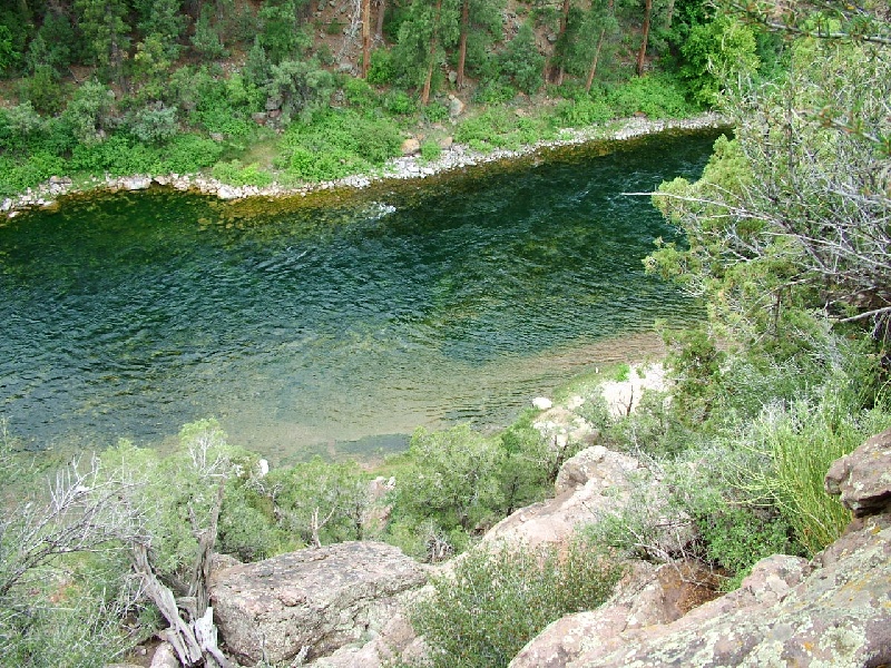
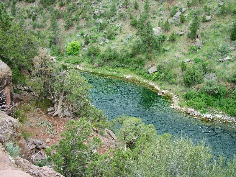
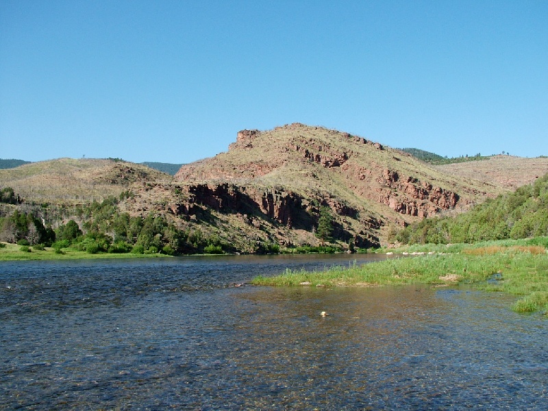
Green River, UT Fishing Report
4 Rating based on
2 Reviews
Green River, UT
trout fish trip in Flaming Gorge
- Added By: narooma on 11/08/08 07:35 AM
- Location: Green River, UT
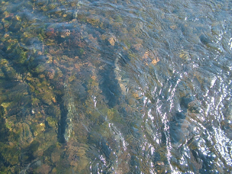
- # of Hotspots: 1
- # of Photos: 5
- # of Fish Caught: 50
- Learn more about Green River, UT fishing in our fishing message boards
Report Photos
Report Catches
Lake Taneycomo Catch
- # of Fish Caught: 50
- Water Type: freshwater
- Type of Fish: Brown Trout
- Fish Length (Avg): 15 inches
- Fish Length (Max): 26 inches
- Bait Type: Nymph Check Prices
- Bait Details: In 2008 there have been significant rains (record floods) and this has not allowed Table Rock Lake to cool. Normal water temps in Lake Taneycomo are in the 40s but in 2008 they are in the low 60s.
The main food supplies on Lake Taneycomo are sculpins, scuds, midge, San Juan worms and sowbugs. There is little dry fly action but you can catch a few. Egg patterns are productive using as an attractor pattern. Other nymph patterns will work but sticking to the main 5 above will be the most productive. Midge under an indicator in the slower waters are excellent.
There is only about 500 or 600 yards below the dam that can be waded, below that the lake becomes too deep to wade.
The other potential to limit fishing is the generation of electricity. When generators are running, there is too much current to fish other than from a boat.
There are usually a lot of rainbow and brown trout stacked up below the dam. This is an artificial lure trophy area only for the first 3 miles below the dam. - Location Details: Access is below Table Rock Dam with public parking and restrooms.